Jebel Keroual
Interactive map
GPS track profile
About this GPS track
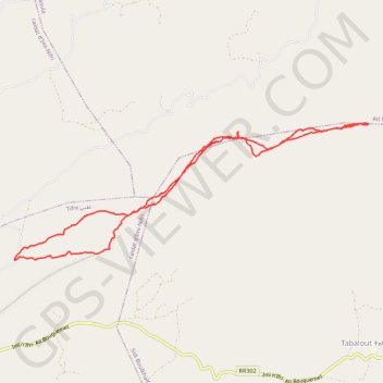
Name: Jebel Keroual GPS track, route, trail
Coordinates: 31.73808 -6.95876 31.75514 -6.90691
Other GPS tracks
Click on a GPS track to view route, its statistics and profile.
Maroc en boucle depuis Tanger
Maroc > pachalik de Tanger > Tanger
Distance: 3,028.7 Km • Elevation gain: 27,253 m • Maximum elevation: 2,301 m
Marruecos Junio 2019. De Berguent a Esmara
Maroc > Pachalik de Ain Bni Mathar > Ain Bni Mathar
Distance: 2,271.6 Km • Elevation gain: 11,817 m • Maximum elevation: 1,454 m
Midelt - Marrakech
Maroc > Pachalik de Midelt > Midelt
VTT. En aller simple entre Midelt et Marrakech. #VTT
Distance: 1,032.7 Km • Elevation gain: 11,777 m • Maximum elevation: 2,650 m