Chermside West Circuit
Interactive map
GPS track profile
About this GPS track
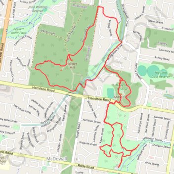
Name: Chermside West Circuit GPS track, route, trail
Coordinates: -27.38968 152.99393 -27.37070 153.00774
Topography: Brisbane City topographic map
Other GPS tracks
Click on a GPS track to view route, its statistics and profile.
Bunyaville Conservation Park
Australia > Queensland > Brisbane City
#MTB #Loop #Bunyaville
Distance: 47.9 Km • Elevation gain: 523 m • Maximum elevation: 106 m