Regents Park - Clyde
Interactive map
GPS track profile
About this GPS track
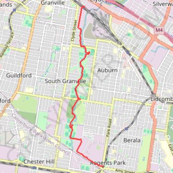
Name: Regents Park - Clyde GPS track, route, trail
Coordinates: -33.88324 151.01224 -33.83574 151.02396
Topography: Sydney topographic map
Other GPS tracks
Click on a GPS track to view route, its statistics and profile.
Perth to Sydney
Australie > Australie occidentale > City of Belmont
Distance: 3,801.3 Km • Elevation gain: 14,558 m • Maximum elevation: 1,159 m
Sydney to Oran Park NSW
Australia > New South Wales > Sydney
Distance: 60.3 Km • Elevation gain: 577 m • Maximum elevation: 126 m