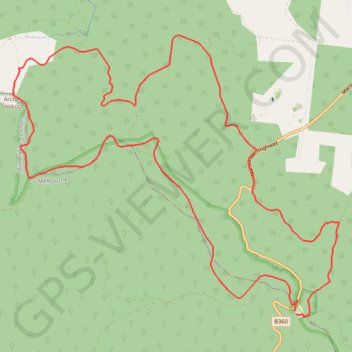
Monda Track
Interactive map
GPS track profile
About this GPS track
Name: Monda Track GPS track, route, trail
Coordinates: -37.59234 145.60034 -37.55923 145.64871
Topography: Melbourne topographic map
Other GPS tracks
Click on a GPS track to view route, its statistics and profile.
Tallarook - Eildon - Hurstbridge
Australia > Victoria > Tallarook
#Bike
Distance: 278.8 Km • Elevation gain: 4,897 m • Maximum elevation: 868 m