Gatton National Park
Interactive map
GPS track profile
About this GPS track
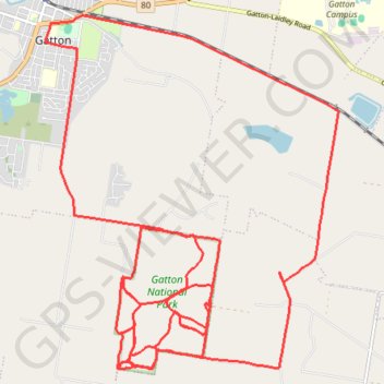
Name: Gatton National Park GPS track, route, trail
Coordinates: -27.61951 152.27776 -27.55714 152.33574
Topography: Queensland topographic map
Other GPS tracks
Click on a GPS track to view route, its statistics and profile.