Wirrawilla - Mount Saint Leonard
Interactive map
GPS track profile
About this GPS track
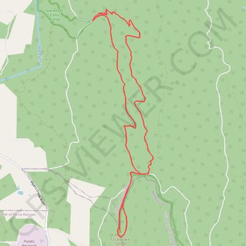
Name: Wirrawilla - Mount Saint Leonard GPS track, route, trail
End: Wirrawilla Road, Toolangi, Shire of Murrindindi, Victoria, Australia (-37.52855 145.51943)
Coordinates: -37.56849 145.51919 -37.52649 145.53337
Topography: Melbourne topographic map
Other GPS tracks
Click on a GPS track to view route, its statistics and profile.