Wollongong Loop
Interactive map
GPS track profile
About this GPS track
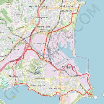
Name: Wollongong Loop GPS track, route, trail
Coordinates: -34.49578 150.84364 -34.42266 150.91663
Topography: Wollongong City Council topographic map
Other GPS tracks
Click on a GPS track to view route, its statistics and profile.