Canberra - Crookwell
Interactive map
GPS track profile
About this GPS track
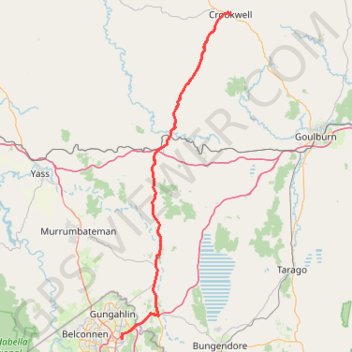
Name: Canberra - Crookwell GPS track, route, trail
Coordinates: -35.23946 149.15149 -34.45484 149.47043
Topography: Canberra topographic map
Other GPS tracks
Click on a GPS track to view route, its statistics and profile.
Cloudride24.FINAL
Distance: 1,028.8 Km • Elevation gain: 21,282 m • Maximum elevation: 1,754 m