Bribie Island Poverty Point
Interactive map
GPS track profile
About this GPS track
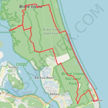
Name: Bribie Island Poverty Point GPS track, route, trail
Coordinates: -27.07392 153.09393 -26.96234 153.20541
Topography: Queensland topographic map
Other GPS tracks
Click on a GPS track to view route, its statistics and profile.