Tenterfield - Spirabo Forest
Interactive map
GPS track profile
About this GPS track
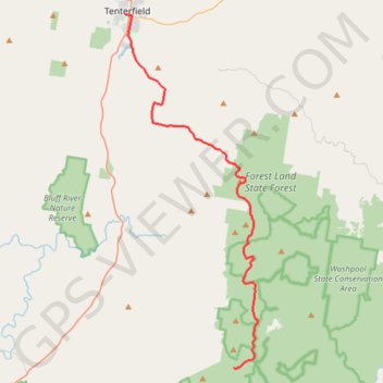
Name: Tenterfield - Spirabo Forest GPS track, route, trail
Coordinates: -29.30779 152.01635 -29.05099 152.12646
Topography: New South Wales topographic map
Name: Tenterfield - Spirabo Forest GPS track, route, trail
Coordinates: -29.30779 152.01635 -29.05099 152.12646
Topography: New South Wales topographic map