East Rim Wildflower Track
Interactive map
GPS track profile
About this GPS track
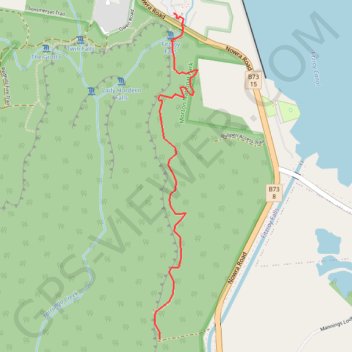
Name: East Rim Wildflower Track GPS track, route, trail
Coordinates: -34.66559 150.48144 -34.64674 150.48447
Topography: New South Wales topographic map
Other GPS tracks
Click on a GPS track to view route, its statistics and profile.
Ulladulla - Minnamurra
Australia > New South Wales > Burrill Lake
#Bike
Distance: 127.8 Km • Elevation gain: 1,627 m • Maximum elevation: 143 m