Shepherds Hill Recreation Park - Ridge Track - Viaduct Track
Interactive map
GPS track profile
About this GPS track
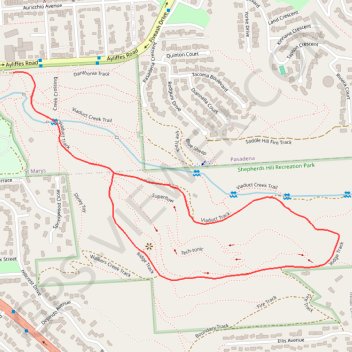
Name: Shepherds Hill Recreation Park - Ridge Track - Viaduct Track GPS track, route, trail
Coordinates: -35.01806 138.58018 -35.01121 138.59327
Topography: Adelaide topographic map
Other GPS tracks
Click on a GPS track to view route, its statistics and profile.
Brighton - Adelaide
Australia > South Australia > Adelaide
#Bike
Distance: 23.4 Km • Elevation gain: 101 m • Maximum elevation: 53 m