Burns Beach
#Hike
- Distance: 2.7 Km
- Elevation gain: 30 m
- Maximum elevation: 18 m
- Elevation loss: 30 m
- Minimum elevation: 3 m
Interactive map
GPS track profile
About this GPS track
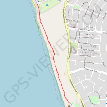
Name: Burns Beach GPS track, route, trail
Coordinates: -31.74187 115.71919 -31.73075 115.72344
Topography: Joondalup topographic map
Other GPS tracks
Click on a GPS track to view route, its statistics and profile.