GPS tracks, routes, trails, hikes

GPS tracks visualization and sharing, free and without registration.

Import a GPX file

Anakie Gorge Loop - Nelsons Lookout

Brisbane Ranges National Park. #Hike #Loop #Brisbane

  • Distance: 11.4 Km
  • Elevation gain: 353 m
  • Maximum elevation: 364 m
  • Elevation loss: 357 m
  • Minimum elevation: 195 m
  • Moving time: 2 h 48 m
  • Moving speed: 4.1 Km/h
  • Maximum speed: 15.6 Km/h
  • Total time: 3 h 1 m
  • Global speed: 3.8 Km/h
  • Date: 19/01/20

Interactive map

GPS track profile

About this GPS track

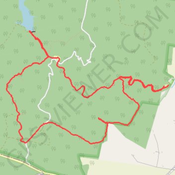
Name: Anakie Gorge Loop - Nelsons Lookout GPS track, route, trail.
Start: Anakie Gorge Picnic Site, Gorge Road, Staughton Vale, Victoria, Australia (-37.86087 144.27108)
End: Anakie Gorge Walk, Staughton Vale, Victoria, Australia (-37.86075 144.27187)
Coordinates: -37.86939 144.24152 -37.85278 144.27187