Goomburra - Gatton
Interactive map
GPS track profile
About this GPS track
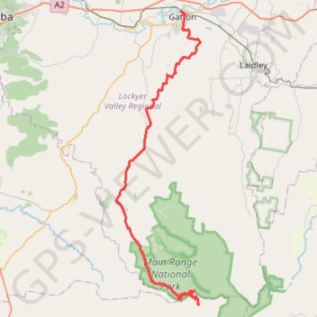
Name: Goomburra - Gatton GPS track, route, trail
End: Railway Street, Gatton, Lockyer Valley Regional, Queensland, 4343, Australia (-27.55587 152.27732)
Coordinates: -27.97561 152.17299 -27.55540 152.30891
Topography: Queensland topographic map
Other GPS tracks
Click on a GPS track to view route, its statistics and profile.
Warwick - Gatton
Australia > Queensland > Warwick
#Bike
Distance: 125.3 Km • Elevation gain: 812 m • Maximum elevation: 582 m