Cannabullen Falls
Interactive map
GPS track profile
About this GPS track
Name: Cannabullen Falls GPS track, route, trail
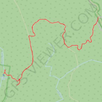
Start: Maple Creek Road, Palmerston, Tablelands Regional, Queensland, Australia (-17.65650 145.64084)
End: Maple Creek Road, Palmerston, Tablelands Regional, Queensland, Australia (-17.65650 145.64084)
Coordinates: -17.67489 145.61402 -17.65642 145.64084
Topography: Queensland topographic map