Jarrahdale - Munda Biddi Trail
Interactive map
GPS track profile
About this GPS track
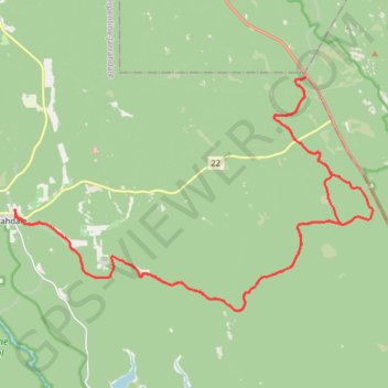
Name: Jarrahdale - Munda Biddi Trail GPS track, route, trail
Coordinates: -32.37128 116.06936 -32.28903 116.21819
Topography: Western Australia topographic map
Other GPS tracks
Click on a GPS track to view route, its statistics and profile.
Munda Biddi Trail
Australie > Australie occidentale
Distance: 105.2 Km • Elevation gain: 1,395 m • Maximum elevation: 378 m
Perth to Sydney
Australie > Australie occidentale > City of Belmont
Distance: 3,801.3 Km • Elevation gain: 14,558 m • Maximum elevation: 1,159 m