GPS tracks, routes, trails, hikes

GPS tracks visualization and sharing, free and without registration.

Import a GPX file

Mount Cannibal

Mount Cannibal Reserve. #Hike #Loop #Cannibal

  • Distance: 2.3 Km
  • Elevation gain: 149 m
  • Maximum elevation: 228 m
  • Elevation loss: 149 m
  • Minimum elevation: 97 m
  • Moving time: 38 m 49 s
  • Moving speed: 3.5 Km/h
  • Maximum speed: 6.9 Km/h
  • Total time: 40 m 46 s
  • Global speed: 3.4 Km/h
  • Date: 22/01/20

Interactive map

GPS track profile

About this GPS track

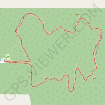
Name: Mount Cannibal GPS track, route, trail.
Start: Garfield North, Melbourne, Shire of Cardinia, Victoria, 3814, Australia (-38.05191 145.67714)
End: Garfield North, Melbourne, Shire of Cardinia, Victoria, 3814, Australia (-38.05204 145.67716)
Coordinates: -38.05355 145.67714 -38.04960 145.68337