Sublime Point Lookout
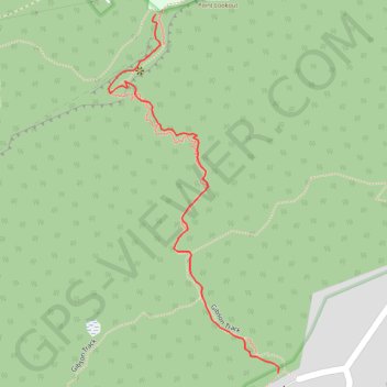
Interactive map
GPS track profile
About this GPS track
Name: Sublime Point Lookout GPS track, route, trail
Coordinates: -34.30246 150.92340 -34.29720 150.92643
Topography: Wollongong City Council topographic map
Other GPS tracks
Click on a GPS track to view route, its statistics and profile.