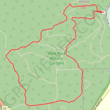
Zamia Trail
Interactive map
GPS track profile
About this GPS track
Name: Zamia Trail GPS track, route, trail
Coordinates: -31.95470 115.76387 -31.94123 115.77911
Topography: Western Australia topographic map
Other GPS tracks
Click on a GPS track to view route, its statistics and profile.
2021 Toodyay return via Kep
Distance: 229.9 Km • Elevation gain: 1,859 m • Maximum elevation: 357 m