GPS tracks, routes, trails, hikes

GPS tracks visualization and sharing, free and without registration.

Import a GPX file

Black Hill Conservation Park Loop

#Hike #Loop #BlackHill

  • Distance: 11.8 Km
  • Elevation gain: 773 m
  • Maximum elevation: 475 m
  • Elevation loss: 779 m
  • Minimum elevation: 160 m
  • Moving time: 3 h
  • Moving speed: 3.9 Km/h
  • Maximum speed: 10.4 Km/h
  • Total time: 3 h 3 m
  • Global speed: 3.8 Km/h
  • Date: 17/01/20

Interactive map

GPS track profile

About this GPS track

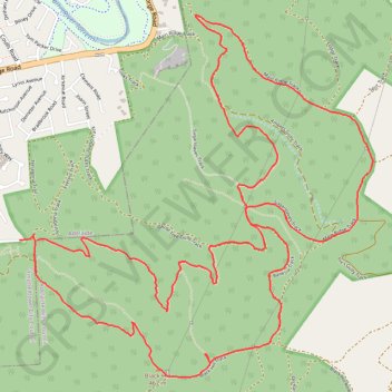
Name: Black Hill Conservation Park Loop GPS track, route, trail.
Start: Summit Nature Trail, Athelstone, Adelaide, Adelaide Hills Council, South Australia, 5076, Australia (-34.87445 138.71305)
End: Addison Avenue, Athelstone, Adelaide, Campbelltown City Council, South Australia, 5076, Australia (-34.87448 138.71179)
Coordinates: -34.88236 138.71179 -34.86148 138.73661