Cleland Conservation Park - Sugarloaf Hill
Interactive map
GPS track profile
About this GPS track
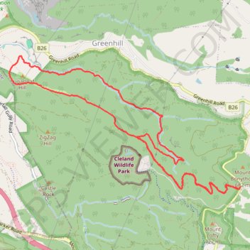
Name: Cleland Conservation Park - Sugarloaf Hill GPS track, route, trail
Coordinates: -34.97018 138.67581 -34.95166 138.71368
Topography: South Australia topographic map
Other GPS tracks
Click on a GPS track to view route, its statistics and profile.