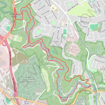
Lane Cove Riverside Walk
Interactive map
GPS track profile
About this GPS track
Name: Lane Cove Riverside Walk GPS track, route, trail
Coordinates: -33.79479 151.13554 -33.77333 151.15575
Topography: Sydney topographic map
Other GPS tracks
Click on a GPS track to view route, its statistics and profile.
Perth to Sydney
Australie > Australie occidentale > City of Belmont
Distance: 3,801.3 Km • Elevation gain: 14,558 m • Maximum elevation: 1,159 m