South Hobart - Howrah - Bowen Bridge
Interactive map
GPS track profile
About this GPS track
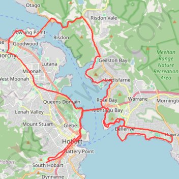
Name: South Hobart - Howrah - Bowen Bridge GPS track, route, trail
Coordinates: -42.89461 147.27783 -42.81219 147.40549
Topography: Hobart topographic map
Other GPS tracks
Click on a GPS track to view route, its statistics and profile.
South Hobart - Wellington Park - Pipeline Track
Distance: 21.3 Km • Elevation gain: 988 m • Maximum elevation: 636 m