The Spine - Button's Fail
Interactive map
GPS track profile
About this GPS track
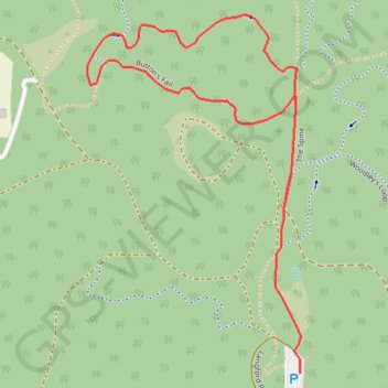
Name: The Spine - Button's Fail GPS track, route, trail
Coordinates: -32.31593 116.06414 -32.30821 116.06957
Topography: Western Australia topographic map
Other GPS tracks
Click on a GPS track to view route, its statistics and profile.
Perth to Sydney
Australie > Australie occidentale > City of Belmont
Distance: 3,801.3 Km • Elevation gain: 14,558 m • Maximum elevation: 1,159 m