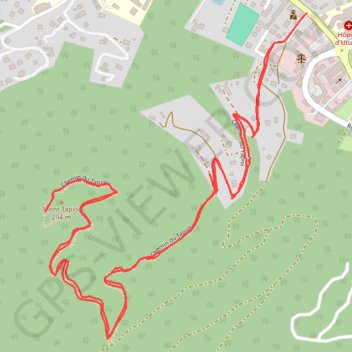
TAHITI - PEDESTRE - Raiatea - Mont Tapioi
Randonnée en aller-retour depuis Uturoa. #Randonnée
- Distance: 6.5 Km
- Elevation gain: 353 m
- Maximum elevation: 284 m
- Elevation loss: 353 m
- Minimum elevation: 7 m
- Moving time: 1 h 39 m
- Moving speed: 3.9 Km/h
- Maximum speed: 5.8 Km/h
- Total time: 1 h 56 m
- Global speed: 3.3 Km/h
- Date: 14/05/12
Interactive map
GPS track profile
About this GPS track
Name: TAHITI - PEDESTRE - Raiatea - Mont Tapioi GPS track, route, trail
Coordinates: -16.73779 -151.45433 -16.72777 -151.44593