Chaplin - Moose Jaw
Interactive map
GPS track profile
About this GPS track
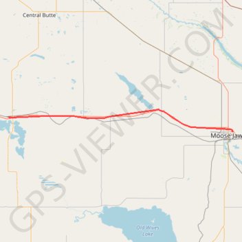
Name: Chaplin - Moose Jaw GPS track, route, trail
End: Moose Jaw, Division No. 7, Saskatchewan, S6H 7B2, Canada (50.41060 -105.50927)
Coordinates: 50.41060 -106.66232 50.48337 -105.50927
Other GPS tracks
Click on a GPS track to view route, its statistics and profile.
Moose Jaw - Regina
Canada > Saskatchewan > Division No. 7 > Moose Jaw
#Bike
Distance: 71.0 Km • Elevation gain: 117 m • Maximum elevation: 583 m
Swift Current - Chaplin
Canada > Saskatchewan > Division No. 8 > Swift Current
Distance: 87.6 Km • Elevation gain: 245 m • Maximum elevation: 774 m