Wahroonga Reserve
Interactive map
GPS track profile
About this GPS track
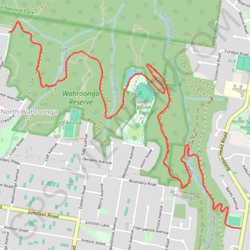
Name: Wahroonga Reserve GPS track, route, trail
Coordinates: -33.71121 151.12654 -33.69571 151.14740
Topography: Sydney topographic map
Other GPS tracks
Click on a GPS track to view route, its statistics and profile.
Perth to Sydney
Australie > Australie occidentale > City of Belmont
Distance: 3,801.3 Km • Elevation gain: 14,558 m • Maximum elevation: 1,159 m