Telescope Peak
Interactive map
GPS track profile
About this GPS track
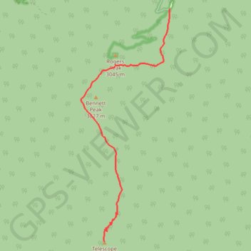
Name: Telescope Peak GPS track, route, trail
Start: Mahogany Flat Road, Inyo County, California, United States (36.22977 -117.06827)
End: Telescope Peak Trail, Inyo County, California, United States (36.17003 -117.08924)
Coordinates: 36.17003 -117.09654 36.22977 -117.06827