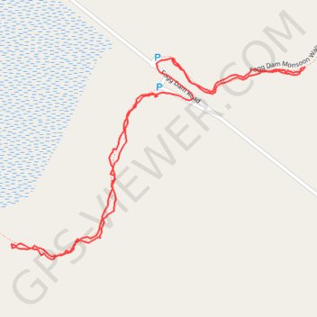
Fog Dam walks
- Distance: 2.0 Km
- Elevation gain: 7 m
- Maximum elevation: 12 m
- Elevation loss: 6 m
- Minimum elevation: 7 m
- Moving time: 43 m 11 s
- Moving speed: 2.8 Km/h
- Maximum speed: 15.8 Km/h
- Total time: 1 h 20 m
- Global speed: 1.5 Km/h
- Date: 23/04/24
Interactive map
GPS track profile
About this GPS track
Name: Fog Dam walks GPS track, route, trail
Coordinates: -12.57033 131.30541 -12.56676 131.31073
Topography: Litchfield Municipality topographic map