Appin - Minerva pool - Wedderburn
Interactive map
GPS track profile
About this GPS track
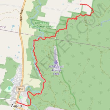
Name: Appin - Minerva pool - Wedderburn GPS track, route, trail
Coordinates: -34.20335 150.78733 -34.15603 150.83041
Topography: New South Wales topographic map
Other GPS tracks
Click on a GPS track to view route, its statistics and profile.
Appin Falls
Australia > New South Wales > Appin
#Hike
Distance: 14.1 Km • Elevation gain: 154 m • Maximum elevation: 296 m