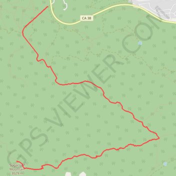
Sugarloaf Mountain
Interactive map
GPS track profile
About this GPS track
Name: Sugarloaf Mountain GPS track, route, trail
Start: Wildhorse Meadow Road, San Bernardino County, California, 92386, United States (34.23129 -116.80674)
End: Sugarlump Trail, San Bernardino County, California, 92386, United States (34.19899 -116.81452)
Coordinates: 34.19725 -116.81452 34.23129 -116.77856