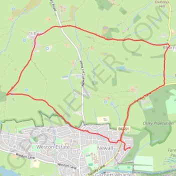
Otley - Farnley - Clifton - Otley (foot)
- Distance: 7.6 Km
- Elevation gain: 144 m
- Maximum elevation: 209 m
- Elevation loss: 151 m
- Minimum elevation: 68 m
- Moving time: 2 h 3 m
- Moving speed: 3.7 Km/h
- Maximum speed: 5.3 Km/h
- Total time: 3 h 18 m
- Global speed: 2.3 Km/h
- Date: 21/04/24
Interactive map
GPS track profile
About this GPS track
Name: Otley - Farnley - Clifton - Otley (foot) GPS track, route, trail
End: Farnley Hall, Farnley, North Yorkshire, England, LS21 2RN, United Kingdom (53.91400 -1.68537)
Coordinates: 53.91359 -1.71492 53.93117 -1.67590
Other GPS tracks
Click on a GPS track to view route, its statistics and profile.