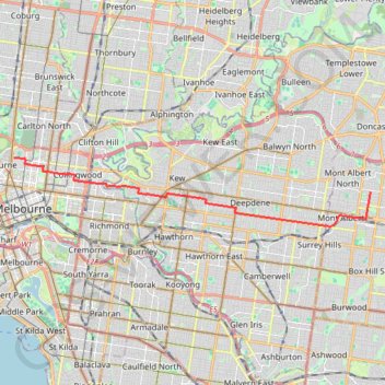
Box Hill - University of Melbourne
Interactive map
GPS track profile
About this GPS track
Name: Box Hill - University of Melbourne GPS track, route, trail
Coordinates: -37.82103 144.95947 -37.79616 145.12099
Topography: Melbourne topographic map
Other GPS tracks
Click on a GPS track to view route, its statistics and profile.
Elgar Park to Hays Paddock including Bolin Bolin Trail
Australia > Victoria > Melbourne
Distance: 18.0 Km • Elevation gain: 116 m • Maximum elevation: 58 m