Eagle Rock
Interactive map
GPS track profile
About this GPS track
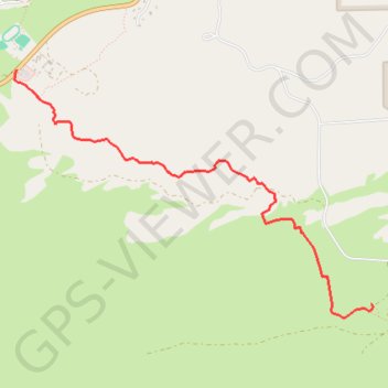
Name: Eagle Rock GPS track, route, trail
Coordinates: 33.25384 -116.64515 33.27341 -116.61134
Other GPS tracks
Click on a GPS track to view route, its statistics and profile.
Name: Eagle Rock GPS track, route, trail
Coordinates: 33.25384 -116.64515 33.27341 -116.61134
Click on a GPS track to view route, its statistics and profile.