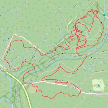
Chimney Trail - High Horse - Big Pine
Interactive map
GPS track profile
About this GPS track
Name: Chimney Trail - High Horse - Big Pine GPS track, route, trail
Coordinates: -33.93583 115.06622 -33.92668 115.07854
Topography: Western Australia topographic map
Other GPS tracks
Click on a GPS track to view route, its statistics and profile.