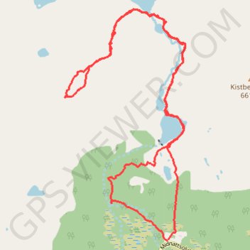
Kvitfors+Baken(702m)
- Distance: 10.3 Km
- Elevation gain: 766 m
- Maximum elevation: 704 m
- Elevation loss: 766 m
- Minimum elevation: 6 m
- Moving time: 3 h 52 m
- Moving speed: 2.7 Km/h
- Maximum speed: 7.6 Km/h
- Total time: 6 h 42 m
- Global speed: 1.5 Km/h
- Date: 15/08/17
Interactive map
GPS track profile
About this GPS track
Name: Kvitfors+Baken(702m) GPS track, route, trail
Start: Midnattsolveien, Vestpollen, Farsvika, Vågan, Nordland, Norvège (68.32669 14.65117)
End: Midnattsolveien, Vestpollen, Farsvika, Vågan, Nordland, Norvège (68.32668 14.65099)
Coordinates: 68.32668 14.62576 68.34734 14.65536
Other GPS tracks
Click on a GPS track to view route, its statistics and profile.
Stage 1: Arctic Ocean to Väylä — European Divide Trail
Distance: 2,785.0 Km • Elevation gain: 23,823 m • Maximum elevation: 722 m