LOF_39_matmora
- Distance: 9.5 Km
- Elevation gain: 897 m
- Maximum elevation: 761 m
- Elevation loss: 922 m
- Minimum elevation: 7 m
Interactive map
GPS track profile
About this GPS track
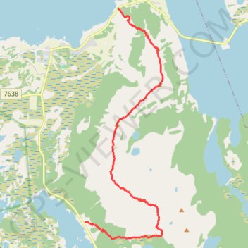
Name: LOF_39_matmora GPS track, route, trail
Start: Midnattsolveien, Sandvoll, Vågan, Nordland, 8315, Norvège (68.35911 14.48465)
End: Midnattsolveien, Straumnes, Delp, Vågan, Nordland, 8315, Norvège (68.40128 14.50249)
Coordinates: 68.35585 14.48465 68.40128 14.52633
Other GPS tracks
Click on a GPS track to view route, its statistics and profile.
Stage 1: Arctic Ocean to Väylä — European Divide Trail
Distance: 2,785.0 Km • Elevation gain: 23,823 m • Maximum elevation: 722 m
Matmora 001
Distance: 13.4 Km • Elevation gain: 1,077 m • Maximum elevation: 764 m
GT_Austvagoya_Etape1
Distance: 12.8 Km • Elevation gain: 989 m • Maximum elevation: 758 m