Hyams Beach - Jervis Bay
Interactive map
GPS track profile
About this GPS track
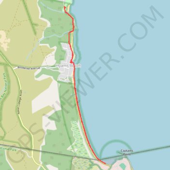
Name: Hyams Beach - Jervis Bay GPS track, route, trail
Coordinates: -35.12367 150.69083 -35.08742 150.70258
Topography: New South Wales topographic map
Other GPS tracks
Click on a GPS track to view route, its statistics and profile.
Ulladulla - Minnamurra
Australia > New South Wales > Burrill Lake
#Bike
Distance: 127.8 Km • Elevation gain: 1,627 m • Maximum elevation: 143 m