Lone Pine Lake
Interactive map
GPS track profile
About this GPS track
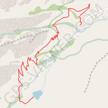
Name: Lone Pine Lake GPS track, route, trail
Start: Mount Whitney Trail, Inyo County, California, United States (36.58695 -118.24017)
End: Mount Whitney Trail, Inyo County, California, United States (36.57615 -118.24895)
Coordinates: 36.57511 -118.25179 36.58999 -118.23858
Other GPS tracks
Click on a GPS track to view route, its statistics and profile.
JMT1-16847633
États-Unis d'Amérique > Californie > Inyo County
Distance: 401.4 Km • Elevation gain: 15,190 m • Maximum elevation: 4,385 m