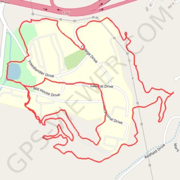
Dahlia Ridge Trail System
Loop in the Dahlia Ridge Trail System at Haywood Community College. #Hike #Walk #Run #Loop #Nature #Forest
- Distance: 5.2 Km
- Elevation gain: 122 m
- Maximum elevation: 846 m
- Elevation loss: 122 m
- Minimum elevation: 794 m
- Moving time: 40 m 36 s
- Moving speed: 7.7 Km/h
- Maximum speed: 15.6 Km/h
- Total time: 43 m 32 s
- Global speed: 7.2 Km/h
- Date: 01/01/24
Interactive map
GPS track profile
About this GPS track
Name: Dahlia Ridge Trail System GPS track, route, trail
Coordinates: 35.52154 -82.93027 35.52773 -82.92148