Dandenong Ranges Loop
Interactive map
GPS track profile
About this GPS track
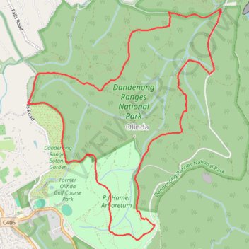
Name: Dandenong Ranges Loop GPS track, route, trail
Coordinates: -37.85804 145.36813 -37.82894 145.39906
Topography: Melbourne topographic map
Other GPS tracks
Click on a GPS track to view route, its statistics and profile.
Secret Garden, Dandenong Ranges Botanic Garden
Australia > Victoria > Melbourne
Distance: 13.5 Km • Elevation gain: 321 m • Maximum elevation: 594 m