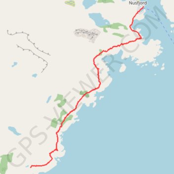
Nesland_Nusfjord
- Distance: 4.8 Km
- Elevation gain: 269 m
- Maximum elevation: 89 m
- Elevation loss: 299 m
- Minimum elevation: 0 m
- Moving time: 2 h 6 m
- Moving speed: 2.3 Km/h
- Maximum speed: 5.1 Km/h
- Total time: 3 h 38 m
- Global speed: 1.3 Km/h
- Date: 12/07/13
Interactive map
GPS track profile
About this GPS track
Name: Nesland_Nusfjord GPS track, route, trail
Start: 92, Neslandveien, Auster Nesland, Ramberg, Flakstad, Nordland, 8380, Norvège (68.00895 13.30197)
End: Nusfjordveien, Vika, Nusfjord, Flakstad, Nordland, Norvège (68.03469 13.35017)
Coordinates: 68.00895 13.30197 68.03469 13.35017
Other GPS tracks
Click on a GPS track to view route, its statistics and profile.
Stage 1: Arctic Ocean to Väylä — European Divide Trail
Distance: 2,785.0 Km • Elevation gain: 23,823 m • Maximum elevation: 722 m
LOF_15_nesland nusfjord
Norvège > Nordland > Auster Nesland
Distance: 9.7 Km • Elevation gain: 575 m • Maximum elevation: 91 m