LOF_15_nesland nusfjord
- Distance: 9.7 Km
- Elevation gain: 575 m
- Maximum elevation: 91 m
- Elevation loss: 575 m
- Minimum elevation: 2 m
Interactive map
GPS track profile
About this GPS track
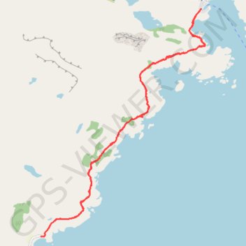
Name: LOF_15_nesland nusfjord GPS track, route, trail
Start: Neslandveien, Auster Nesland, Flakstad, Nordland, Norvège (68.00717 13.29764)
End: Neslandveien, Auster Nesland, Flakstad, Nordland, Norvège (68.00717 13.29764)
Coordinates: 68.00714 13.29764 68.03393 13.34927
Other GPS tracks
Click on a GPS track to view route, its statistics and profile.
Stage 1: Arctic Ocean to Väylä — European Divide Trail
Distance: 2,785.0 Km • Elevation gain: 23,823 m • Maximum elevation: 722 m
Nesland_Nusfjord
Norvège > Nordland > Ramberg > Auster Nesland
Distance: 4.8 Km • Elevation gain: 269 m • Maximum elevation: 89 m